Argentine and US farmland, before you buy · ArgenFields
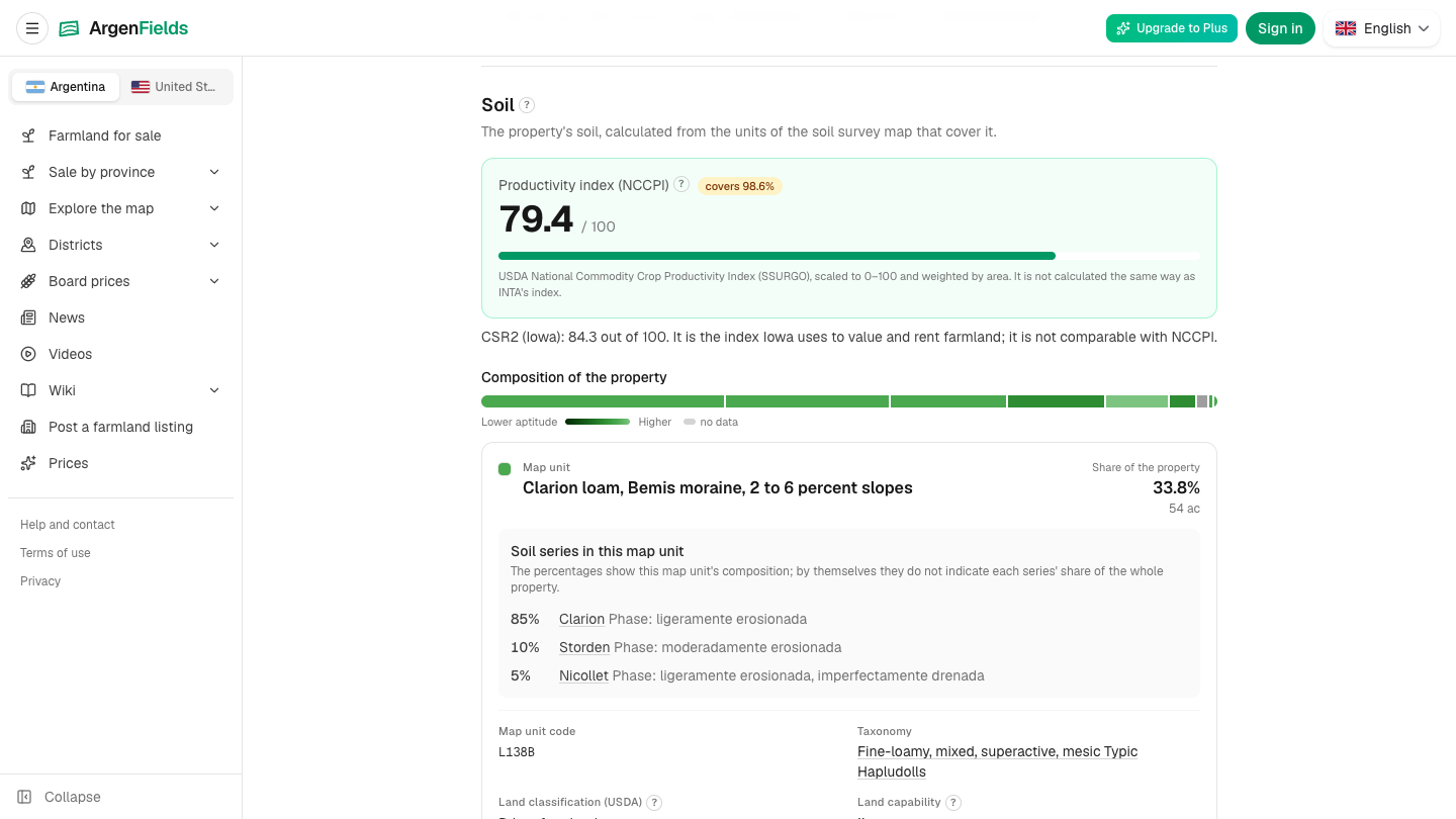
argenfields.comArgenFields brings public farmland data into maps and field reports for Argentina and the contiguous US. Explore soil, climate, water, terrain, mapped risks and logistics, with source citations and coverage shown. US county and soil-series pages add context; reports include indicative rent and land-value ranges, solar screening and dated grain prices. Tero is the AI map assistant; report indicators come from public datasets, not AI measurements. Maps, regional pages and the soil wiki are free. Full reports have a weekly free allowance; paid plans add capacity. Data is indicative, coverage varies, and reports do not replace an on-site study or appraisal. US map: https://www.argenfields.com/en/explorar?pais=US Sample report: https://www.argenfields.com/en/ficha/6aeb38a4de9e9edf6fb3c4ab English demo: https://www.youtube.com/watch?v=Gp8RWMojVwg Plans: https://www.argenfields.com/en/planes
Since it was posted
- Shippedthe page changed
- Posted
We check the homepage, so this only catches changes a visitor would see.
Feedback
No feedback yet. Builders give it through the give 3, get 3 queue.
Shipped by
ArgenFieldsView all their projects →